McGowan’s Pass
McGowan’s Pass is a landscape feature that was once an important site of military defense.
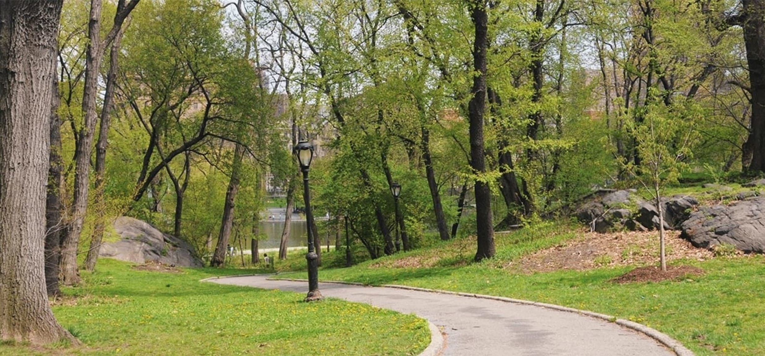
It marks part of the route of the Kingsbridge Road, where it narrowed between two rock outcrops that are still visible today. During the War of 1812, it was part of a fortification system in the area, which included Fort Clinton, Nutter’s Battery, Fort Fish, and the Blockhouse. Americans built a gatehouse connected to the rocks to control access to the road and defend against a British attack from the north. Today, a path winds through these same rock outcrops.
Kingsbridge Road was the main road through Manhattan during the 1700s and early 1800s, before the current street grid was implemented, and was key to transportation in the area. Originally a Native American trail known as the Wickquasgeck Trail, the road was designated a public highway in 1669. The road originated in southern Manhattan at around today’s Madison Square and proceeded north to the King’s Bridge at the northern tip of Manhattan. Upon entering the Bronx, the road split, with one branch leading to Albany and the other to Boston. The Kingsbridge Road entered the future Central Park site at around 95th Street and veered west to reach a suitable place to cross the Harlem Creek, which flowed east into the Harlem River. The road passed through this rocky landscape and descended through McGowan’s Pass, named after the McGowan family, who owned a house and tavern near the present-day site of the Park’s operational area known as the Mount.
While restoring this landscape in 2013, the Central Park Conservancy hired archaeologists to determine the impact of the project on any physical remnants of this history. The archaeologists discovered the foundation of the gatehouse as well as the surface of the Kingsbridge Road, still preserved underground.


